Hurricane Lee expected to strengthen with dangerous coastal impacts arriving to eastern US beaches Sunday
The latest analysis shows Lee has sustained wind speeds of around 105 mph, making the storm a Category 2.
Forecasters warn that while Hurricane Lee has lost a little strength over the past day, the storm is expected to restrengthen as it moves towards the southwest Atlantic. This could cause dangerous surf and rip currents along the majority of the U.S. East Coast on Sunday, which will worsen throughout the week.
At the last report from the National Hurricane Center, winds were sustained around 105 mph, making the storm a Category 2 on the Saffir-Simpson Hurricane Wind Scale.
HOW ARE HURRICANES RATED? THE SAFFIR-SIMPSON HURRICANE WIND SCALE EXPLAINED
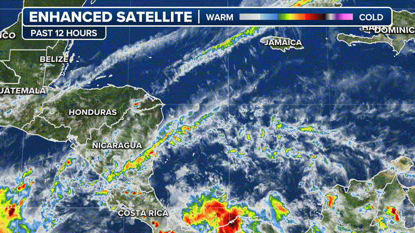
While the storm will remain far enough away from the Caribbean Islands for any direct impacts, heavy surf and dangerous rip currents are already buffeting the Leeward Islands and will spread into Puerto Rico, Hispaniola, Turks and Caicos and the Bahamas and Bermuda over the weekend.
The U.S. Coast Guard says sea conditions had deteriorated along Puerto Rico and the U.S. Virgin Islands, with 10-15 foot surf and life-threatening rip currents. The agency says there are particular dangers for those boating, fishing, beachgoing or engaging in water sports there this weekend.
"We are concerned about people and boaters who may underestimate the impacts of this passing storm," said Capt. José E. Díaz, Coast Guard Sector San Juan (Puerto Rico) commander. "The increase in projected sea states of 10 to 15-feet severely reduces our ability to respond to a maritime distress with the full use of our resources."
Will Lee have any impacts on the US East Coast?
(FOX Weather)
While Lee is expected to slow down in the coming days in the Southwestern Atlantic as the steering currents wane, dangerous surf and rip currents are expected to begin along much of the U.S. Eastern Seaboard Sunday and Monday.
FOX Weather Hurricane Specialist Bryan Norcross stated that Lee is not likely to be a direct threat to Florida, Georgia, or South Carolina, but the storm will generate high surf with powerful waves that may cause damage along the shorelines.
While computer models predict Lee will stay offshore of the Eastern Seaboard, some indicate that the Mid-Atlantic and Northeast coasts may still feel effects from the storm and monitoring future forecasts is recommended.
"It remains too soon to know what level of impacts, if any, Lee might have along the U.S. East Coast, Atlantic Canada, or Bermuda late next week, especially since the hurricane is expected to slow down considerably over the southwestern Atlantic," the NHC stated.
WHAT IS THE 'CONE OF UNCERTAINTY' IN HURRICANE FORECASTS?

(FOX Weather)
Hurricane Lee went from Category 1 to Category 5 in 24 hours
The storm underwent rapid intensification with extreme speed on Thursday, transforming from a Category 1 hurricane at 80 mph Wednesday night to a Category 5 monster at 165 mph just 24 hours later.
Lee was only the 13th Category 5 storm to form east of the Caribbean on record.
"When you see a storm that is wrapped up like that, then you know, you've got storm in the upper echelon" said FOX Weather Hurricane Specialist Bryan Norcross. "And this has been a really one for the record books in so many ways. And just thankfully, it's not heading for land, at least there in the short term."
The storm ran into wind shear Friday, sapping some of the storm's strength and knocking it down to a Category 3. Lee has dropped to a Category 2 storm on Saturday but is expected to reenergize into a major hurricane early next week as it slowly swirls in the Southwestern Atlantic.
HURRICANE LEE LIVE TRACKER: SATELLITES SPAGHETTI COMPUTER MODELS, CONE OF CONCERN AND MORE

(FOX Weather)
Where is Hurricane Lee?
According to the National Hurricane Center, Hurricane Lee is about 350 miles to the east-northeast of the northern Leeward Islands.
The hurricane continues to head in a west-northwest heading in the general direction of the southwest Atlantic.
Early next week, the hurricane is expected to slow down and meander far north of Puerto Rico and east of the Bahamas.
HOW ARE HURRICANES RATED? THE SAFFIR-SIMPSON HURRICANE WIND SCALE EXPLAINED

(FOX Weather)
What is the forecast track for Hurricane Lee?
Hurricane Lee is expected to move west-northwest in the open waters of the southwestern Atlantic during the coming days but slow down in forward speed, remaining far to the east of the Bahamas by early next week.
There are currently no watches or warnings in effect for any landmasses.
While Lee had dropped in intensity Friday and early Saturday, forecasters say during the early workweek, the hurricane could regain Category 4 status and possibly reach Category 5 strength again, if atmospheric conditions are conducive.
TOP 5 STRONGEST HURRICANES EVER RECORDED IN ATLANTIC BASIN


No comments: