Winds have died down but intense gusts could come later today, CNN meteorologist warns
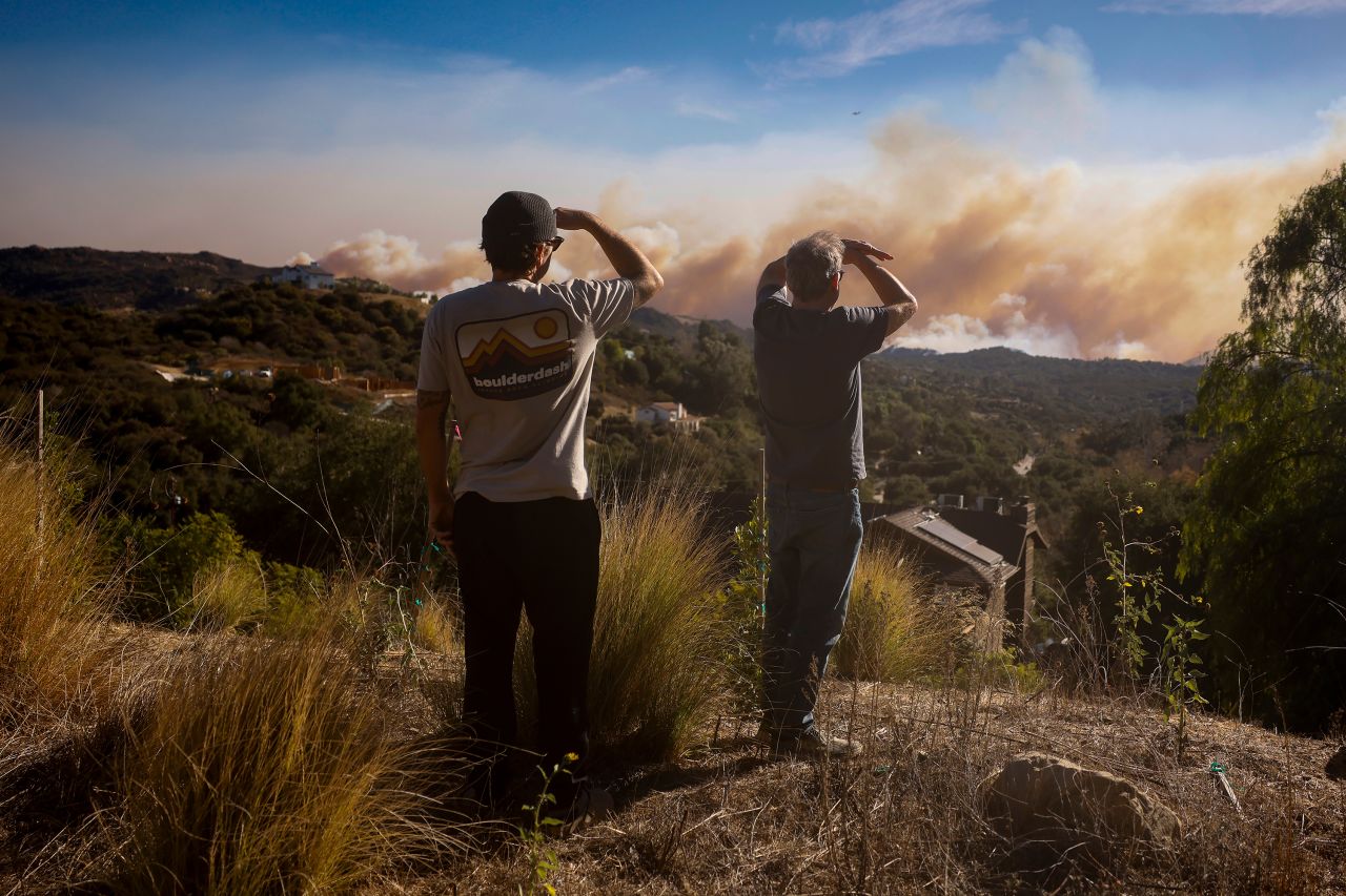
The day began with some relief, as a relaxation in the Santa Ana winds allowed fire crews to dump water from the air. However, intense winds are expected throughout Thursday in Los Angeles, threatening efforts to contain the raging blazes in several regions, according to CNN meteorologist Derek Van Dam.
“Helicopters and the aircraft helping fight the fire from the air were able to actually fly; that’s the main difference this morning, compared to yesterday at this time, when they were not able to fly because the winds were too erratic and too strong,” Van Dam said.
“There was some relaxation in the Santa Ana winds, but we do anticipate that to pick up in intensity through the course of the day.”
The seasonal Santa Ana winds, which are fueling the spread of the fires, see “strong, hot, dust-bearing winds descend to the Pacific Coast around Los Angeles from inland desert regions,” according to the the National Weather Service.
Gusts on Thursday could push the Pacific Palisades blaze toward more residential communities near the city. “The wind direction is so critical here; still coming out of the northeast, it picks up through the afternoon,” said Van Dam.
“Ridgetop winds down to the valley floors could reach 60 miles per hour — that’s tropical storm-force conditions,” he warned.


No comments: