This is how survey teams in Atlanta are measuring the severity of flooding
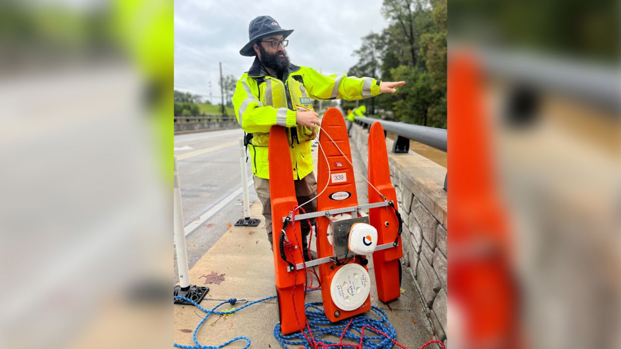
Members of the United States Geological Survey are measuring the velocity and depth of water in metro Atlanta creeks to understand the severity of the flooding due to Helene.
Using their Doppler boat, the USGS is building a flood stage map with the Army Corps of Engineers to see how the flooding is impacting the community.
Between 6 and 10 inches of torrential rain has already fallen in Atlanta, and more is coming.
A flash flood emergency has been issued for the Atlanta area — including Midtown, College Park, Hartsfield-Jackson International Airport, Forest Park, Riverdale and Jonesboro — until 1 p.m. ET.
A flash flood emergency is the most severe flood alert the National Weather Service can use, and it indicates a life-threatening situation.


No comments: